
See Earth in 2.5 m detail
Our super-resolution model turns free 10 m Sentinel-2 imagery into analytics-grade 2.5 m data across all 10 bands — RGB, NIR, red-edge and SWIR — ready to stream into your GIS workflow in under 5 minutes.
100 free credits · No credit card required
From 10 m to 2.5 m. Same scene, four times sharper.
Drag the handle to compare a standard Sentinel-2 acquisition with the same scene after Semablu's super-resolution model has done its work.
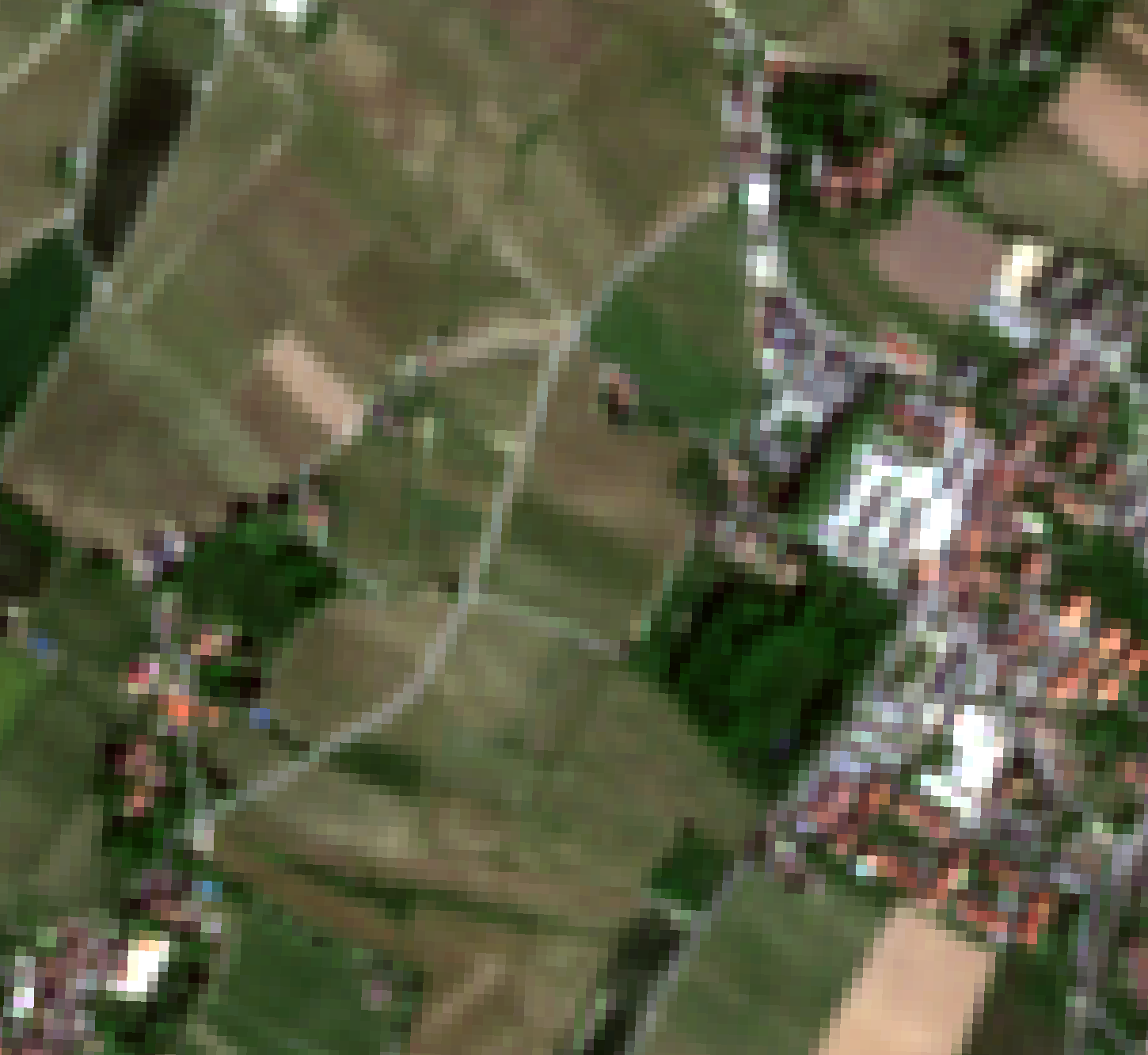
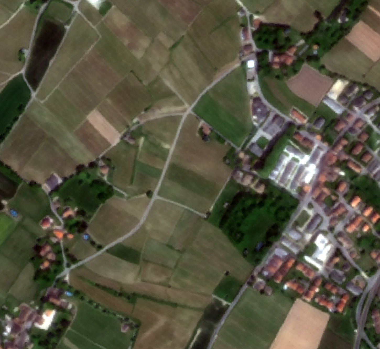
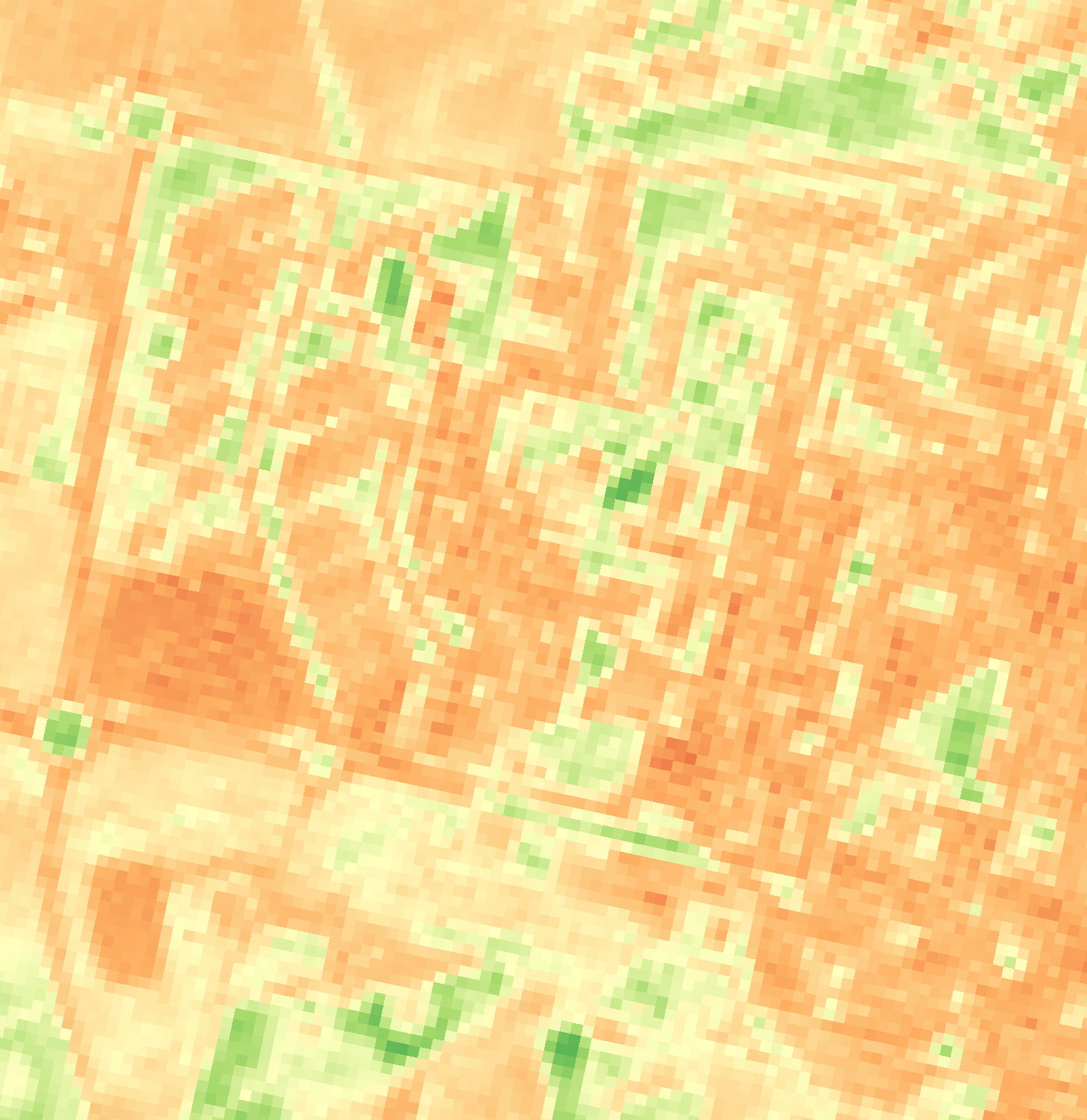
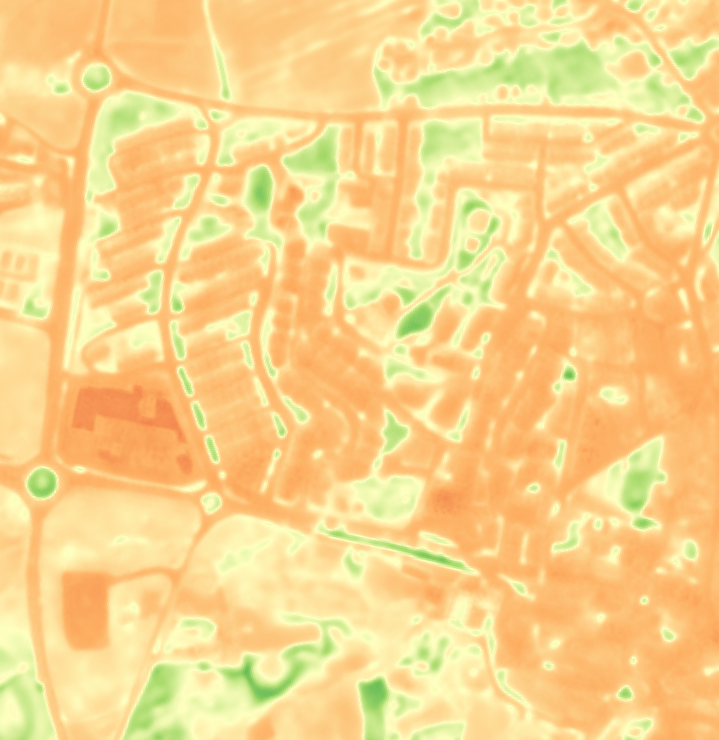
The improvement carries straight through to derived products, like NDVI
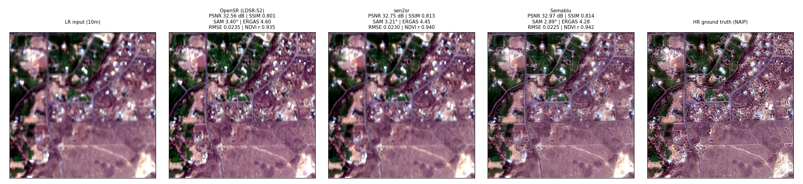
Benchmarked against ESA's OpenSR (LDSR-S2 and sen2sr) on the Sen2NAIP dataset
| Metric | OpenSR (LDSR-S2) | sen2sr | Semablu |
|---|---|---|---|
| PSNR (dB) | 35.43 | 35.81 | 36.09 |
| SSIM | 0.851 | 0.864 | 0.870 |
| SAM (°) | 2.60 | 2.39 | 2.10 |
| ERGAS | 4.21 | 3.93 | 3.85 |
| RMSE | 0.019 | 0.018 | 0.017 |
| NDVI RMSE | 0.060 | 0.057 | 0.052 |
| NDVI correlation | 0.881 | 0.896 | 0.906 |
Same input, five outputs — low-res input, OpenSR, sen2sr, Semablu, high-res ground truth
See your own area of interest — and what it would cost
Draw your AOI on the map below. No account needed — we'll show you the real Semablu price instantly, compared with typical satellite imagery pricing.
Draw a rectangle or polygon (top right of the map), or search for a place above, to set your area of interest.
Pricing that scales with your area of interest
Pay per scene
€0.25 / km²
Same flat rate whether your AOI is 2 km² or 2,000 km².
Credits — any amount
€10
Drag to see roughly how much coverage your budget buys — buy any amount from €10, no fixed tiers, and larger purchases carry a lower effective rate.
Custom pricing
Don't see a fit above?
Recurring large-area monitoring, unusual volumes, or specific delivery requirements — get in touch and we'll work out a custom plan.
What you get
- Analytics-grade orthorectified surface reflectance data across all 10 bands — RGB, NIR, red-edge and SWIR
- Derived from Sentinel-2 MSI L2A
- Spatial resolution of 2.5 metres
- Geolocation accuracy inherited from Sentinel-2 L2A
- Coverage equivalent to Sentinel-2 availability
- Delivered as GeoTIFF within 5 minutes, ready for your GIS stack
- Discoverable via a free STAC API — works with pystac-client and any standard STAC-aware GIS tooling
- Order directly from ArcGIS Pro with our free Python toolbox — search, order, and load imagery without leaving the Geoprocessing pane
0 km²
processed by October 18, 2026
Change detection, season to season
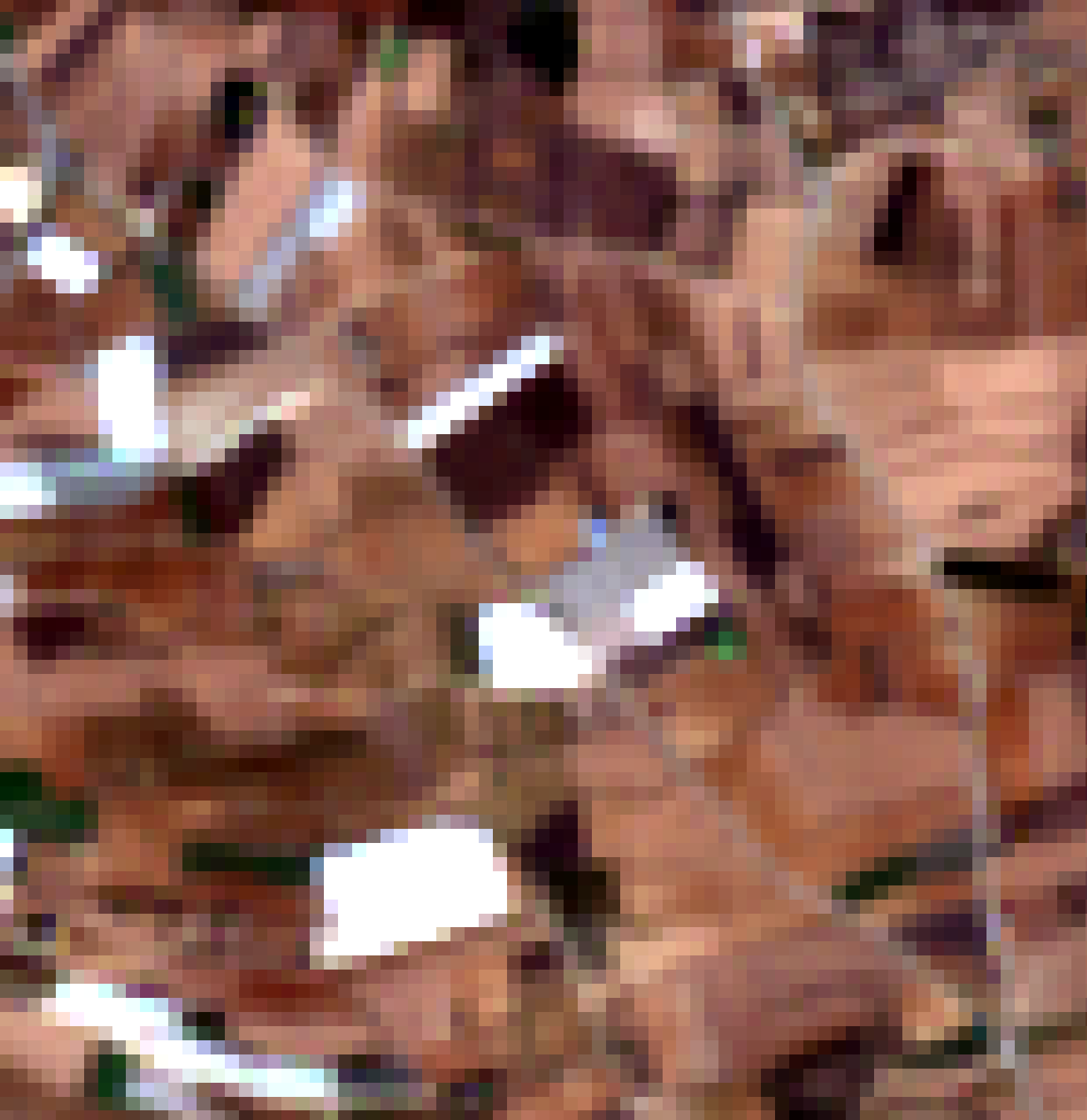
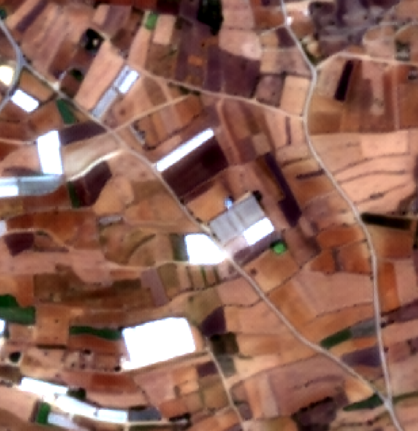
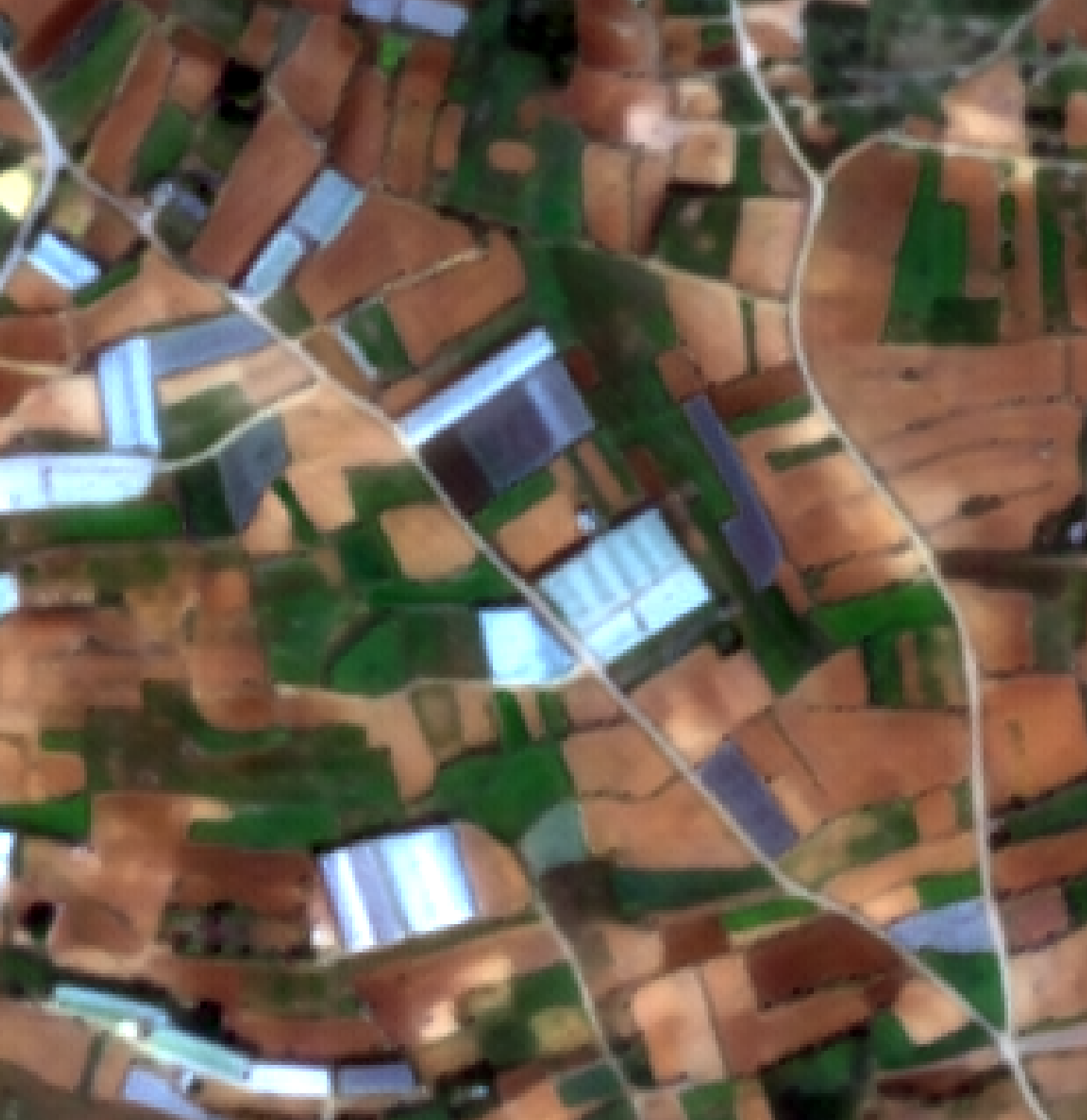
The same agricultural area in summer and winter — at native Sentinel-2 resolution and after super-resolution. At 2.5 m, individual fields, greenhouses and seasonal vegetation change become clear enough to monitor automatically, not just visible to the eye.
Sentinel-2 · 10 m
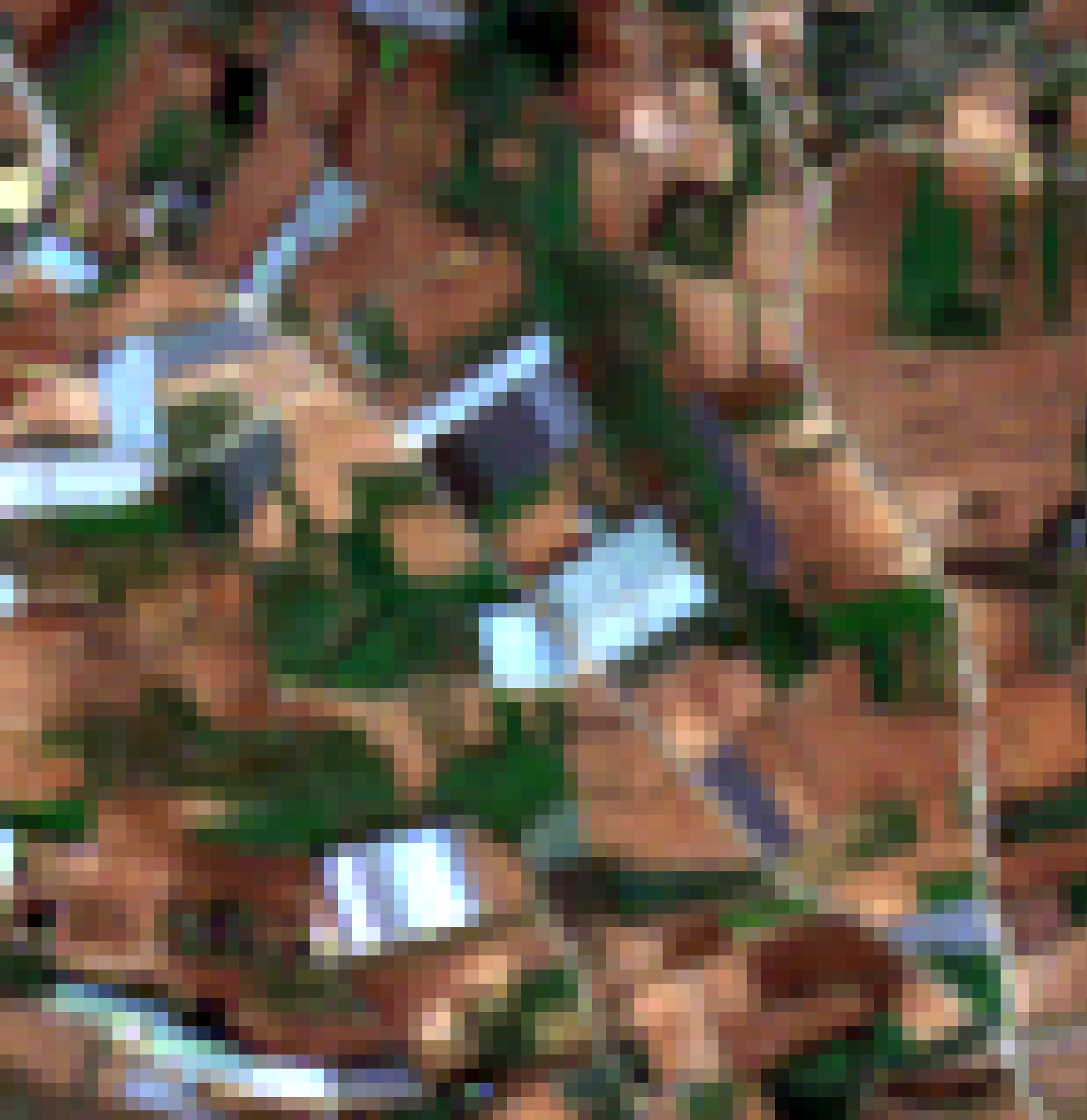
Super-resolved · 2.5 m
Ports, terminals and other critical infrastructure
Some of the world's most critical infrastructure is also some of the hardest to monitor from space at a usable resolution. At 2.5 m, individual container rows, tank farms and terminal layout become clearly resolvable — not just visible.
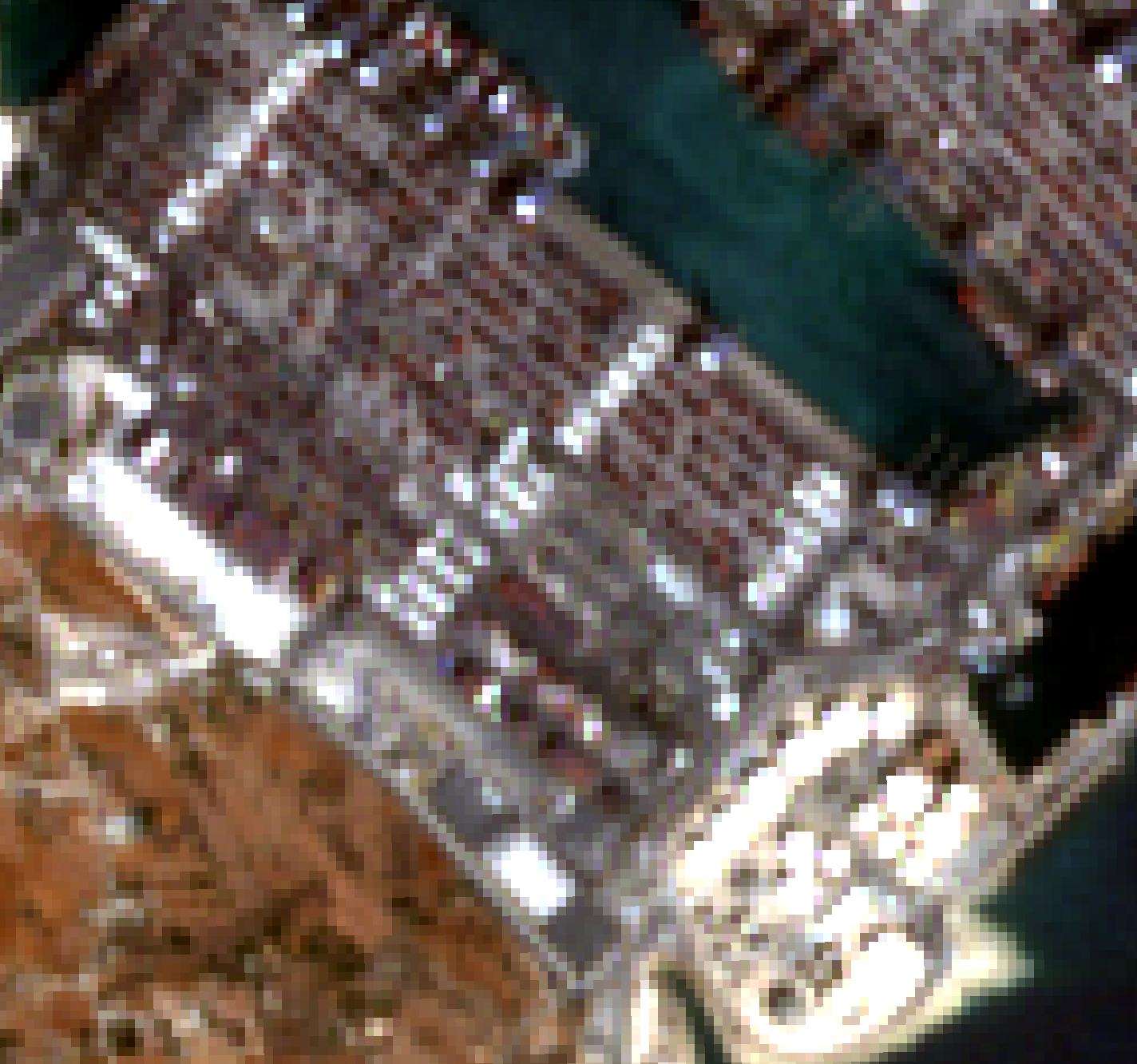
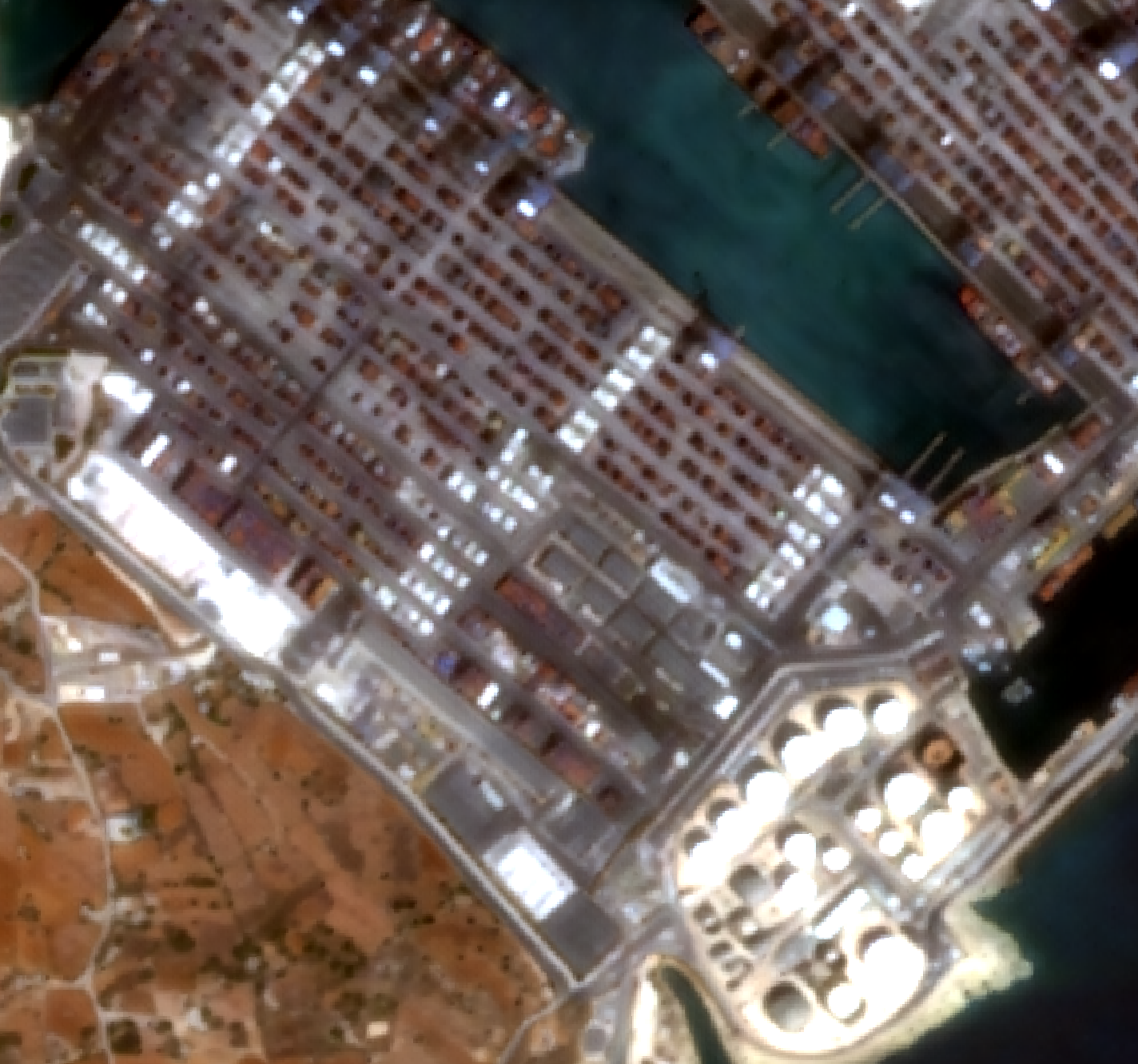
Malta Freeport container terminal · 1.4 km² AOI · from €0.35 at pay-per-scene rates
Ready to see your area of interest in 2.5 m?
Creating an account is free — and you get 100 complimentary credits to explore the console straight away.
Create your free account